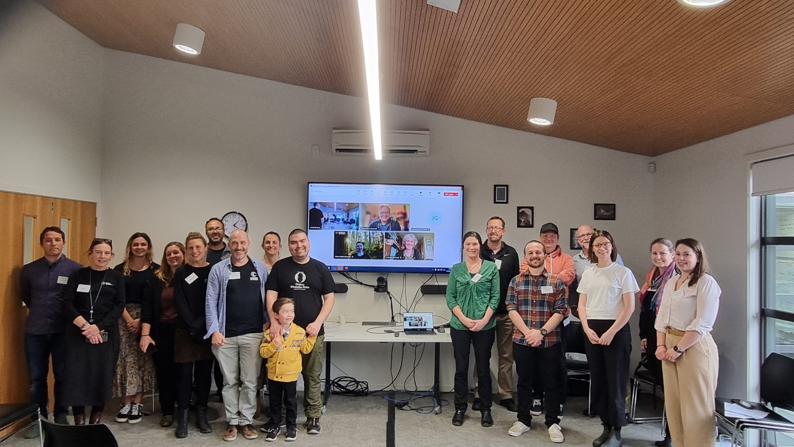
Last year over 700 boat owners who have non-trailered boats moored in marinas around Aotearoa…
Mapping nationwide movements of New Zealand’s recreational vessels
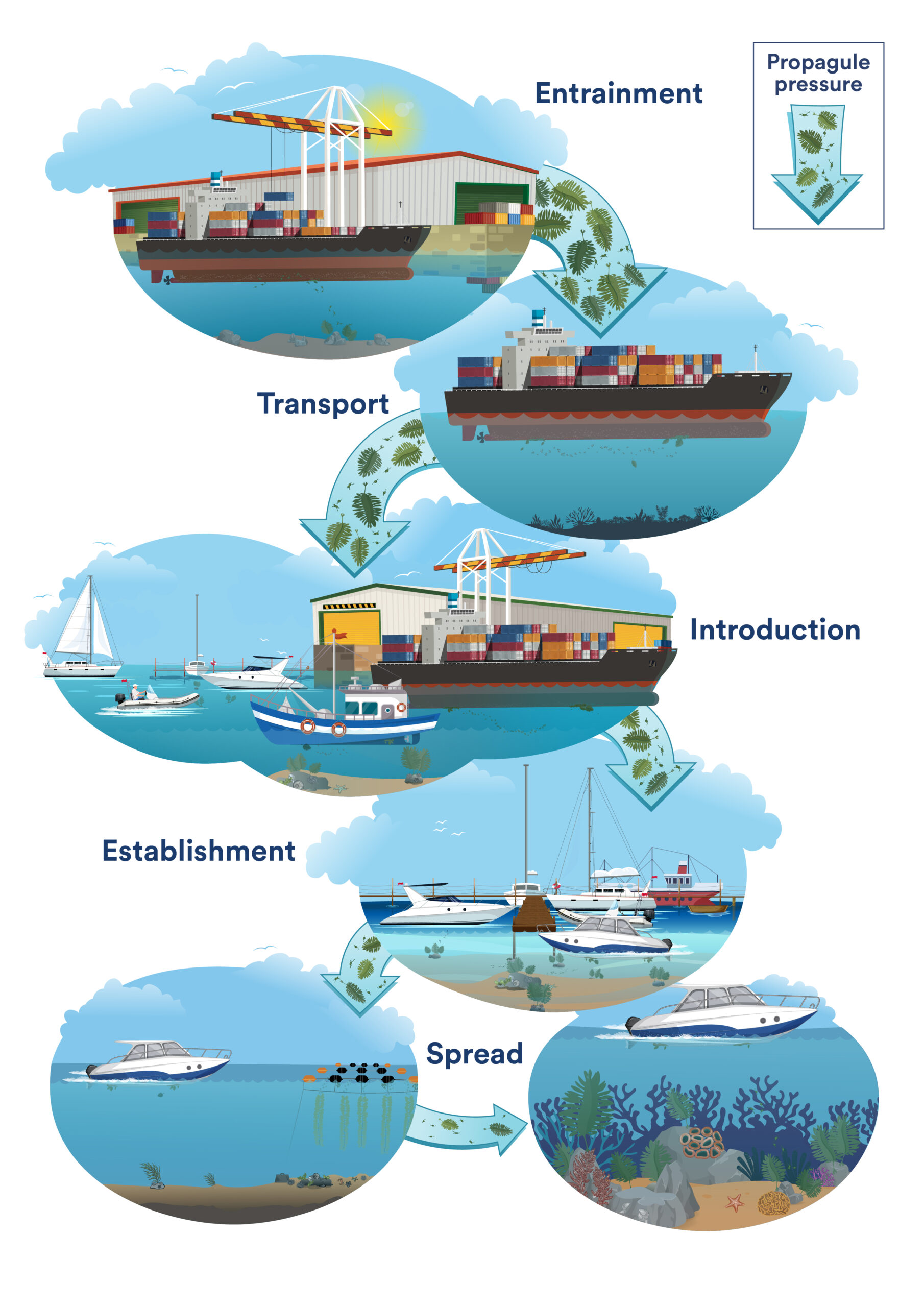
New Zealand has a large population of recreational boats, with over 40 marinas, thousands of moorings and natural anchorages dotted throughout the country’s length. Understanding which destinations recreational vessel visit and how frequently can be tricky because there is no readily available data on their movements. In comparison, commercial vessels must have an automatic identification system, providing traceable data on their positions. To combat this lack of data, our MANAGE & RESPOND team developed a web-based survey that uses interactive maps to capture the movement of recreational boats in New Zealand.
Fig.1: Front Page of the survey, with partner organisations involved.
The survey captures data about where a boat’s home port is and the trips the vessel has undertaken during the last two years, including how long it stayed at the various destinations visited. Yachting New Zealand, the New Zealand Marina Operators Association and nationwide harbourmasters distributed the survey to boats within marinas or moorings. Since opening to the public on the 4th of October, there have been over 2,700 individual responses, making it the largest recreational vessel movement dataset ever collected for New Zealand.
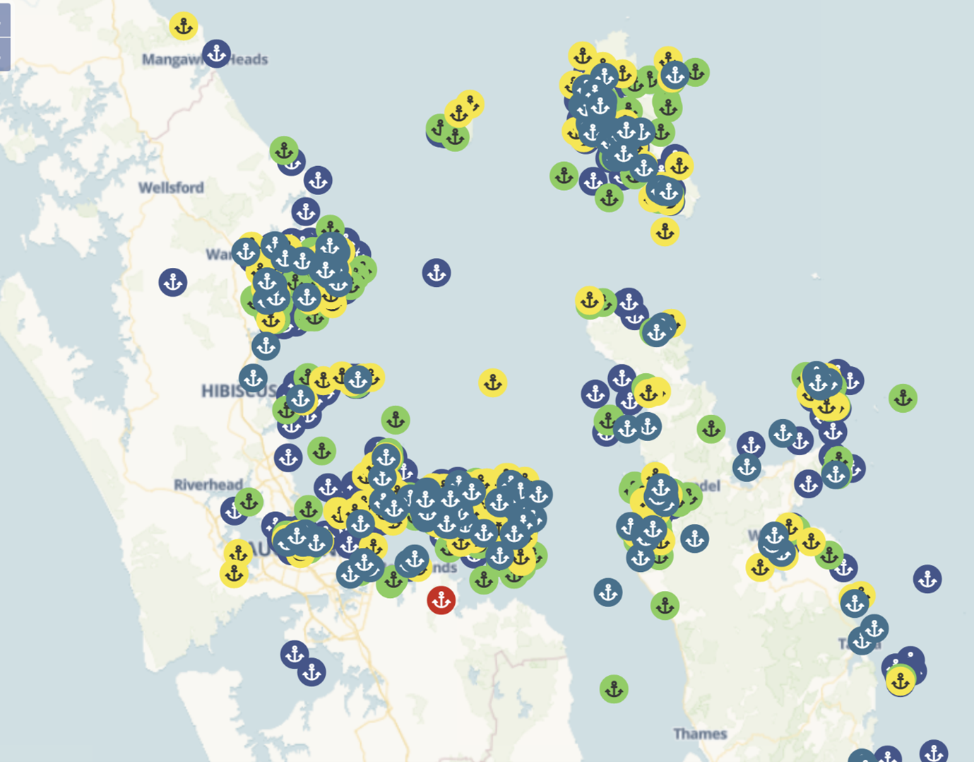
Fig. 2: Survey responses for the first five stops for a single trip in the Auckland Region.
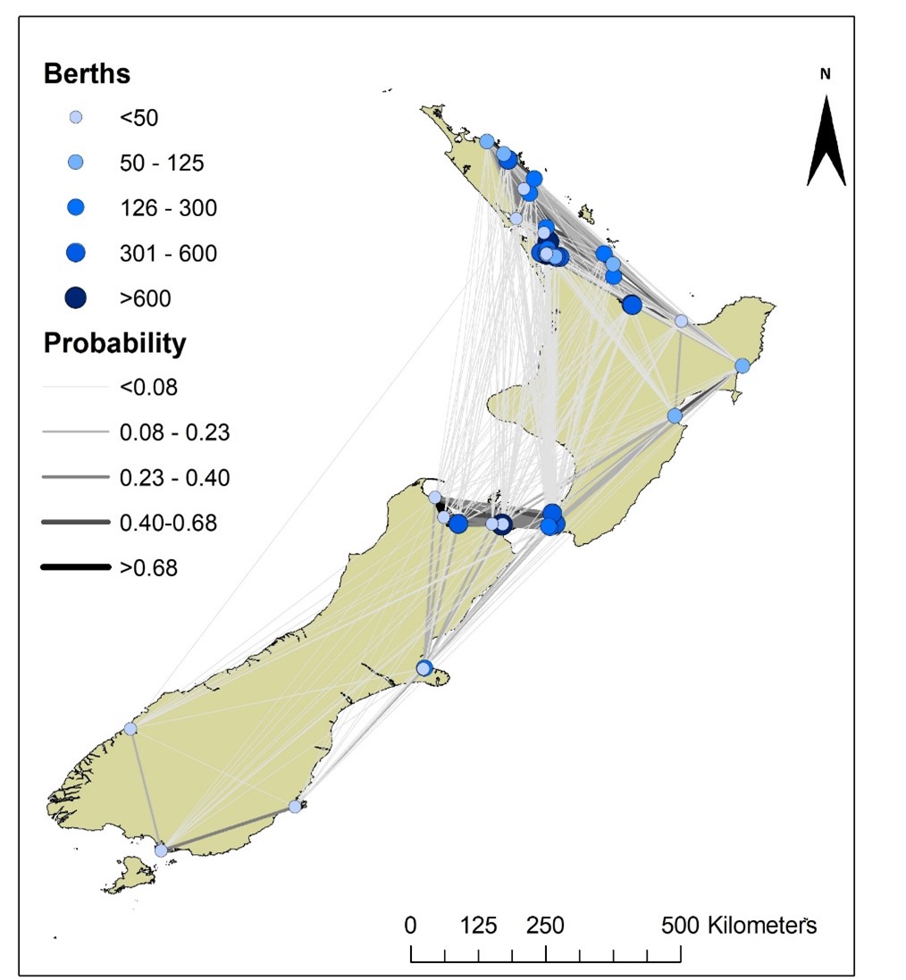
Ultimately, this data will be used to create a network model of recreational vessel movements within New Zealand, incorporating marinas, moorings, and destinations such as islands, bays, beaches, and marine protected areas. This network will allow us to understand places of particular importance and attraction to recreational boaters and common voyage routes. When combined with similar models for commercial and aquaculture vessel traffic and simulated marine pest incursions, our analyses will enable optimised strategies for biosecurity pathway management and response. We want to thank Yachting New Zealand, New Zealand Marina Operator‘s Association and harbourmasters throughout the country for collaborating with us for this survey.
Related Posts
Comments (0)